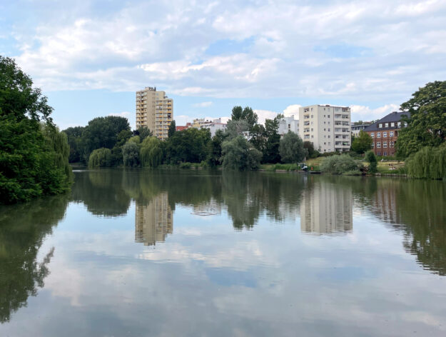
Berlin is a green city. At least that is the widespread opinion. And Berlin also has some lakes, the river Spree, the Havel and the canals. And Berlin also has a lot of streets, of course – and a lot of buildings. But how is the city really divided among these four areas? What proportion of green space really makes up Berlin? The Berlin-Brandenburg Statistics Office has now released figures that may answer this question for the year 2022. To start with: Berlin is still pretty green.
Current land use in Berlin
As of December 31, 2022, Berlin had a total area of 89,112 hectares. That’s equivalent to 891.1 square kilometers – or roughly 125,000 soccer fields. And this area is divided into built-up areas or settlement areas, roads and parking lots or traffic areas, forests and parks or green spaces, and rivers and lakes or water areas. But what proportion of the city consists of green space? What proportion of the city is built on? The current statistics on land use in Berlin provide some information on this.

Current land use graphic Berlin – Graphic: T.Bortels/nuberlin.de
49,734 hectares or 55.8 percent land use type settlement
20,349 hectares or 22.8 percent land use type vegetation
13,183 hectares or 14.8 percent land use type transportation
5,846 hectares or 6.6 percent land use type water bodies
Built-up area, buildings, houses
In some cases, there are major differences between the districts. In Neukölln, for example, the built-up area of 80.3 percent is well above the average – the Tempelhof-Schöneberg district comes in second with 78.1 percent. But Mitte (72.2 percent) and Marzahn-Hellersdorf (71.7 percent) are also relatively far above the Berlin average.
Parks and green spaces
Treptow-Köpenick ranks first in terms of vegetation area with 43.0 percent, followed by Pankow 2 with 30.8 percent. Mitte and Friedrichshain-Kreuzberg had no or only very small vegetation areas.
Roads and parking spaces
In terms of traffic areas, the districts of Friedrichshain-Kreuzberg (26.3 percent) and Mitte (24.2 percent) and Marzahn-Hellersdorf (22.4 percent) are in the top three places and thus relatively far above the Berlin average. Spandau and Treptow-Köpenick have the lowest proportion of traffic area to total area. Spandau is in last place with 9.6 percent – the district of Treptow-Köpenick in second to last place with 9.7 percent.
Rivers, lakes, canals
In terms of watercourse areas, Treptow-Köpenick with 12.2 percent and Spandau with 10.9 percent are well above the state average. The district of Tempelhof-Schöneberg is in last place in terms of water areas with 0.9 percent – Pankow and Neukölln with 1.9 percent each share second to last place.
All data comes from the Berlin-Brandenburg Statistics Office and was published under the Creative Commons Attribution 3.0 Germany License 2023.
- „Deutliche Unterschiede zwischen den Bezirken“ (statistik-berlin-brandenburg.de)
- Creative Commons Namensnennung 3.0 Deutschland Lizenz 2023